
Google Crisis Map is a good example of how technology can be used for the good of making people live, even though it originally was derived from other applications.
http://google.org/crisismap/2013-phailin
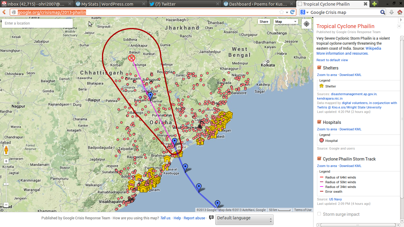
Mandatory Screenshot
–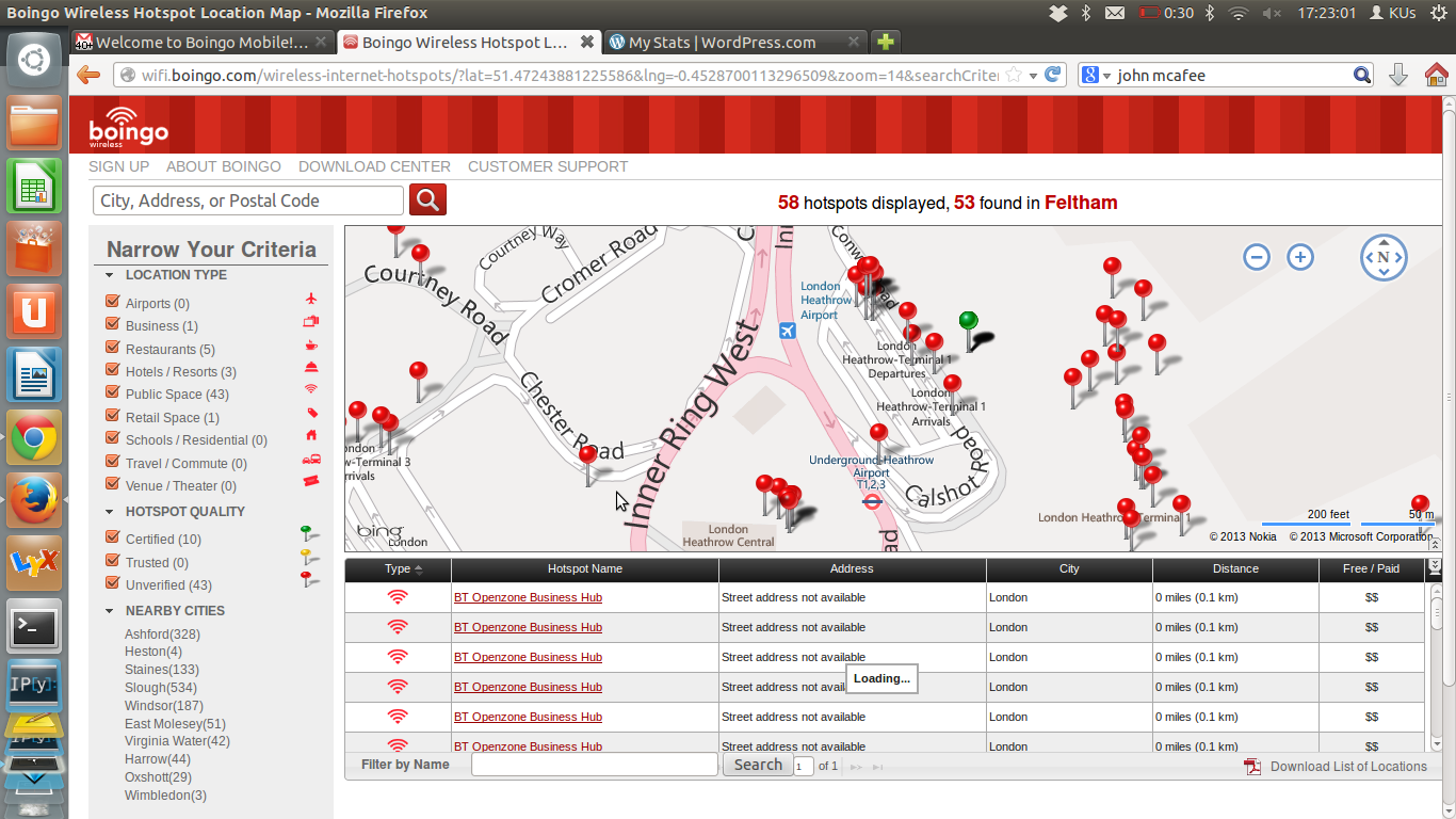 Boingo Mobile’s Hotspot locator is a great example of a way of making GIS make money without being evil.
